- 4.1. Zooming In and Out of Maps
- 4.2. Selecting Data and Using the Identify Tool
- 4.3. Using the Pan Tool to Move a Map
- 4.4. Data Tooltips
- 4.5. Measuring Distance and Area
- 4.6. Using the Data View
- 4.7. Adding, Removing, and Renaming Columns
- 4.8. Using the Selection Window
- 4.9. Using the Point Data Window
- 4.10. Additional Layer Info
Cartographica is first and foremost a tool for exploration of data. This chapter describes many of the tools available for visualizing the data that you have. In concert with the analysis and presentation features, these tools provide a robust starting point for understanding the information within your data.
There are several ways to zoom in and out of a map:
Use the scroll wheel on the mouse while holding down the Option key on the keyboard
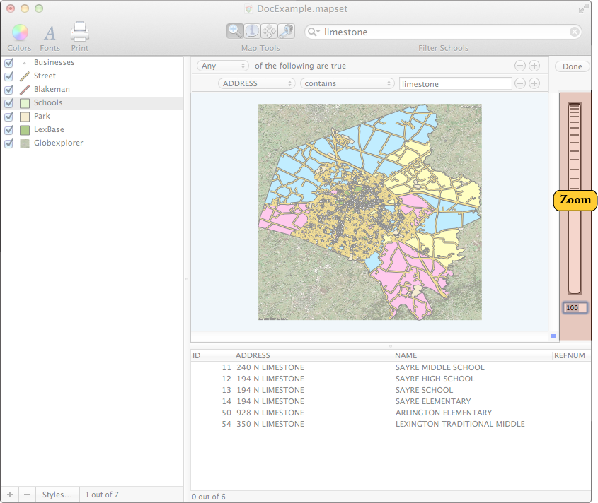
Use the Zoom Dial on the right side of the Map Windows
Use the Zoom To menu items in to jump to particular zoom levels
Use the zoom tool to zoom to points or areas using the mouse pointer
Use the Previous and Next Extent items in move to the previous or next zoom locations
Click and hold the zoom dial and move it up to zoom in and down to zoom out.
You can also zoom by clicking your mouse when you are using the Zoom tool. The Zoom tool also has a toolbar icon looks like this:

When the Zoom tool is selected, the cursor becomes a small little magnifying glass. Click anywhere in the map to zoom in and center the map on that point. To zoom back out, click while holding the Option key on your keyboard.
You can also zoom by selecting an area with the mouse (like drawing a box around it) when you have the Zoom Tool toolbar icon selected. You will zoom in to the borders of the box you just drew.
To go to the last Zoom use the / menu options available in the menu. Essentially, these options are undo/redo for zooming.
