The Point Data window is used for looking at the detailed geometric data of a feature. To open the Point Data window, choose > .
All data in the Point Data window is expressed in the original coordinates. Modifying geometric points will cause those points to be reprojected onto the current map's coordinate system.
![[Note]](Graphics/note.svg) | |
Generally, it is easier to edit if Maps and Layers are (at least temporarily) set to the same value. |
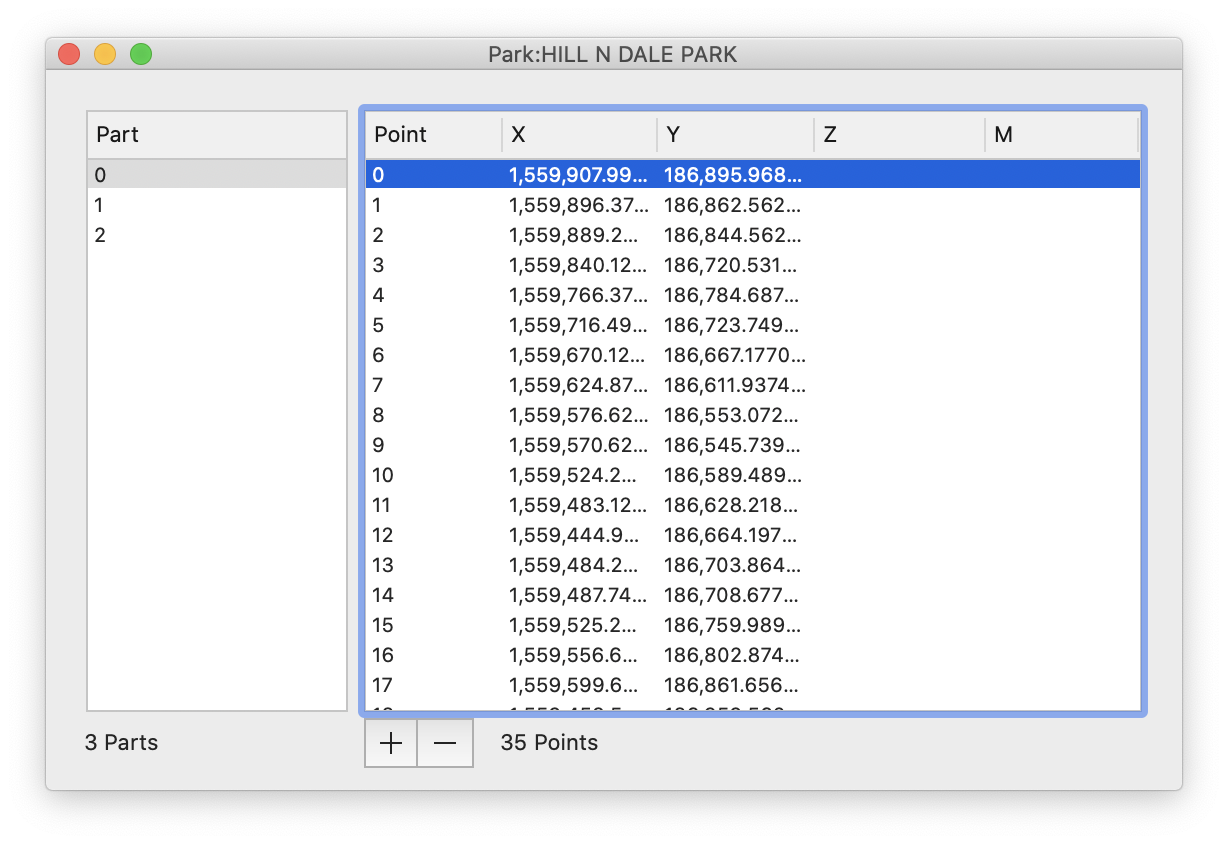
Use the left side of the window (Part) to select the part within the feature (many features have only one part, but others may have many). The right side of the window (Point) shows the list of points in the selected Part. In the case of a Line, a part describes disjoint line segments. In the case of a Polygon, the parts describe islands or holes in the Polygon.