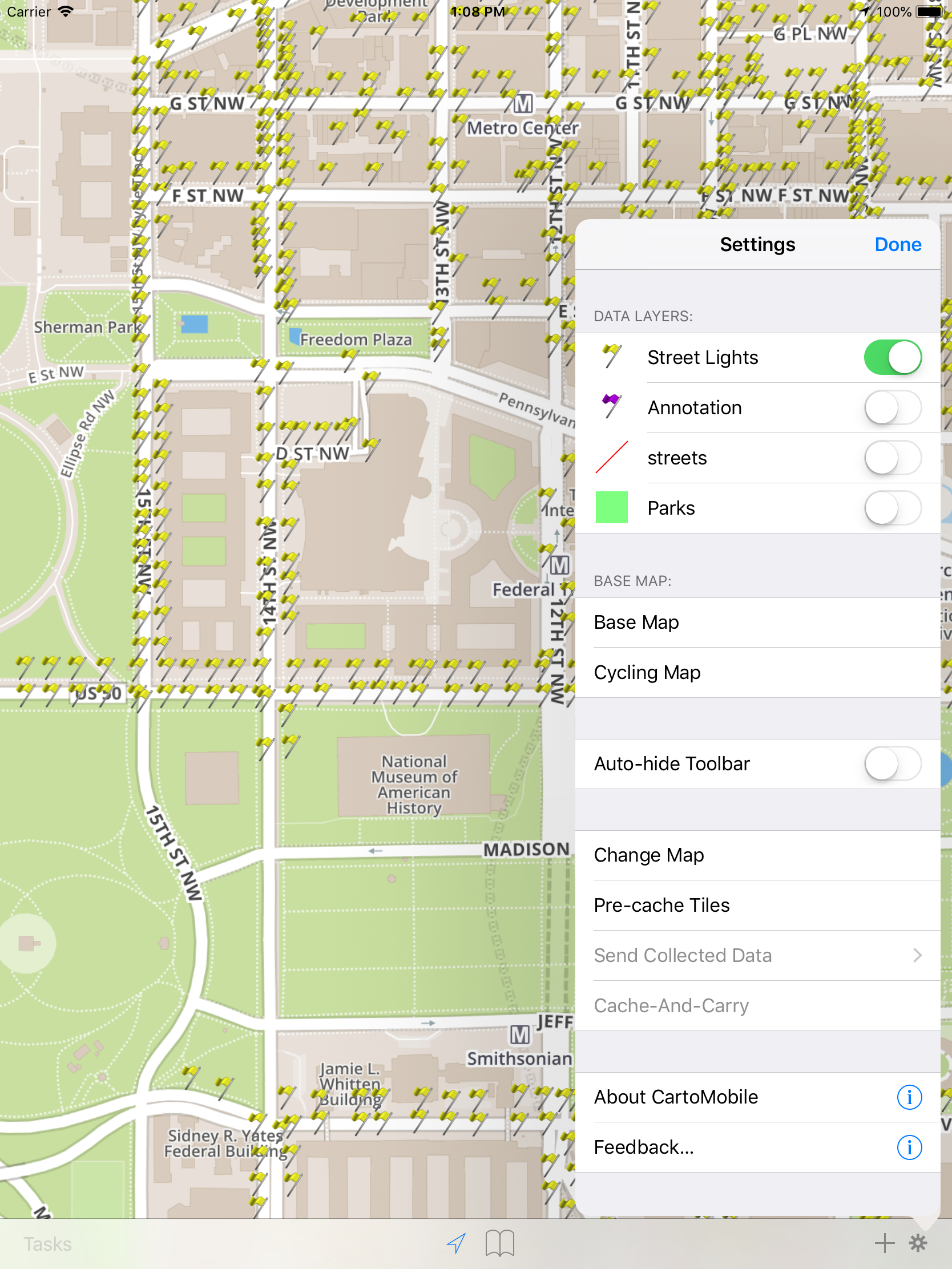
Since the basic function of CartoMobile is centered around the Map, Maps are the highest-level unit of configuration. Maps group together parameters to keep your displays clean and easy to navigate, and they provide you with a way to separate projects, data sets, or clients. Maps are configured through the Change Map panel, accessible from the Settings panel, which is accessed by tapping the gear button in the lower right corner of the screen. Maps consist of two key kinds of data, Base Maps and Data Layers.
Base Maps are the graphical maps that underlie the display. The default map comes from MapBox (which uses OpenStreetMap and other data sources), but it can be replaced with maps from other sources, including WMS Servers or alternate OSM servers. For alternate services, you'll need the URL and optionally information that specifies which layers to use (and possibly login or access information).
Additionally, CartoMobile provides the ability to import your own imagery from any source, using popular formats, including MrSID®, TIFF, GeoTIFF, GeoPNG or ECW format files. This imagery can then be used when you are not connected to the internet.
Data Layers are the vector-based elements that sit on top of the base map and provide geographic and attribute information. Data Layers contain features which can be points, lines, or polygons. Each of these features may contain attributes that describe something about them.
The particular layers that are available on the device are determined by the Settings panel, so to change them just tap on the button to bring up the Settings panel. Any number of Data Layers can be active at a time, but only one base map can be visible at a time.