At the heart of CartoMobile is the Map. As such, it is the vast majority of the main display when you get the App running. The map functions as a control surface, a viewing area, and the primary context in which work is done.
Points on the map are shown as flags (by default small red flags), which can be tapped to expose the label for the point. Tap on the chevron (>) on the right of the label, and the display form will show up. Tap in a part of the map that doesn't have any points and the label will disappear.
![[Note]](Graphics/note.svg) | |
Multiple labels can be showing on the screen at the same time so that you can compare the data. If you have very little empty space on the screen, all labels can be removed by slowly two-finger tapping on the display. |
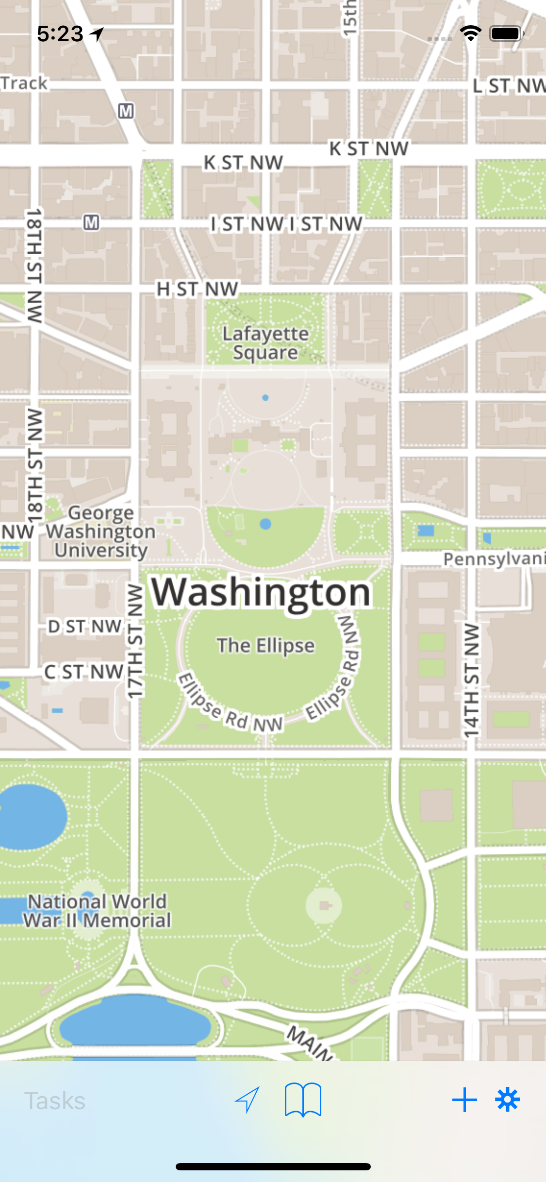
At the bottom of the screen is the toolbar, containing a number of common tools.
(![]() ) activates and deactivates GPS tracking. The button is filled when the
GPS is tracking and CartoMobile will center the map on the current location. Once you move the
map or once the GPS stabilizes, the indicator will go out and it will no longer track your
location automatically.
) activates and deactivates GPS tracking. The button is filled when the
GPS is tracking and CartoMobile will center the map on the current location. Once you move the
map or once the GPS stabilizes, the indicator will go out and it will no longer track your
location automatically.
(![]() ) provides a place to mark areas of interest on the
map. For example, if you are performing a field survey and want to be able to quickly find
your place when you head away for the night, it's easy to just add a bookmark and use it find
the place you left off when you return the next day.
) provides a place to mark areas of interest on the
map. For example, if you are performing a field survey and want to be able to quickly find
your place when you head away for the night, it's easy to just add a bookmark and use it find
the place you left off when you return the next day.
(![]() ) will add a new feature at the center of the map (or the
current GPS location if the GPS is active). To add a new feature at any location on the map,
tap and hold until the loupe comes up, then release it when it is in the location you
desire.
) will add a new feature at the center of the map (or the
current GPS location if the GPS is active). To add a new feature at any location on the map,
tap and hold until the loupe comes up, then release it when it is in the location you
desire.
(![]() ) will bring up the settings panel, which provides a way
to turn layers on and off, change maps, and adjust other settings.
) will bring up the settings panel, which provides a way
to turn layers on and off, change maps, and adjust other settings.