Occasionally, you will need to take a map from Cartographica and produce an image file from it in order to include it in another document or use it in some other manner. Cartographica provides an easy mechanism to create georeferenced images that accurately portray the data on the Cartographica map at the time.
Export a Map as Picture
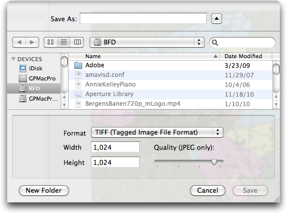
Choose >
The Export Map As Picture sheet appears
Choose an image format from the Format pop-up menu
Enter the desired width and height in the appropriate boxes
Click
The requested image file, along with a world file (usually tfw, jgw, or pgw) and a projection file (prj) will be created in the folder requested.
![[Note]](Graphics/note.svg)
Some programs will understand the world files and some will import the prj files, but not necessarilly all, so it is often desirable to use a standard CRS when exporting if you plan on importing the file into another spatially-aware program.