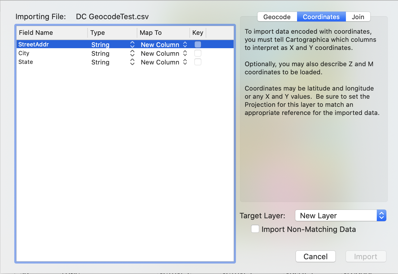
Cartographica can import text files that contain tables as geospatial and data sources. Cartographica can use text files (either CSV, TSV or DBF) to provide three different types of data:
- Coordinate data
Coordinate data contains either X,Y coordinates or latitude and longitude.
- Address data
Address data contains postal addresses.
- Tabular data
Tabular data contains no geospatial information.
Because there is a great variety of sources and types of data which originate in non-geospatial files, Cartographica has a few mechanisms that are used consistently in many of our importing systems.
Cartographica uses the Import Map when importing tabular data (Section 3.4.2, “Importing data from Text and DBF files”) and acquiring database data (Section 3.5, “Acquiring Database Data”). It serves two purposes: first to determine how to associate new data with an existing or new layer, and second, to determine how to relate the imported data geospatially to the rest of the data in the map.
The left side of the Import Map window is used to define the relationship between fields within the file or database that is being imported and the layer that they are being imported into. The meaning of each column is detailed here.
- Field Name
The name of the field being imported. Based either on the initial line of the file or the database source that the data is coming from.
- Type
The kind of data being imported (String, Number, Date, etc). This is determined either directly from the import source or by heuristic. If necessary, the type information may be overridden by choosing a different type in the Type menu.
- Map To
Determines which column this field will map to in the resultant layer. When set to , a new column with this name will be added to the table. Special values for geocoding and Coordinate import are also available. Existing fields are listed if the target layer is not new. tells Cartographica not to import this field at all.
- Key
The Key field is only used for the Join style of importing, and we be detailed in section REFERENCE. When the Key box is checked, the corresponding relationship between the imported field and the Map To field is used to determine which feature to associate a row from the data file with.
