How do I create new Points, Lines or Polygons?
In Cartographica, each feature (point, line, or polygon) exists within a layer of similar features. To get started with drawing a new polygon (or point or line), you first have to make sure you have an appropriate layer. If you alredy have a layer that you would like to add the feature to, skip directly to step 2. If not, create a new layer in step 1.
Choose Layer > New Layer to create the layer (skip if using existing layer)
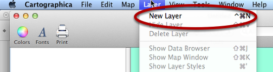
The result should be a new layer in the Layer Stack to the left. This layer should already be selected.
Note that if this is the first layer in the map, you will see a warning triangle because there will be no Coordinate Reference System (CRS) set for it. You can determine the CRS by choosing Layer > Set Layer's Projection…
Select the layer in the layer stack
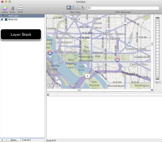
If you have just created a layer, it will be selected. If you are using an existing layer, select it by clicking on the layer in the Layer Stack.
Choose Edit > Add Feature to create a new feature
If you are adding a feature to an existing layer, skip the next step
For the first feature in a layer, choose the feature type when prompted
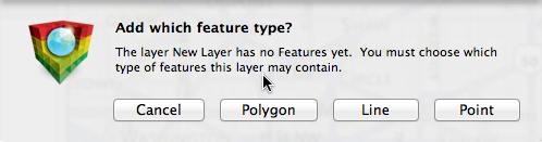
Choose the type of feature to add: Polygon, Line, or Point
Hold option and click to add points to the feature
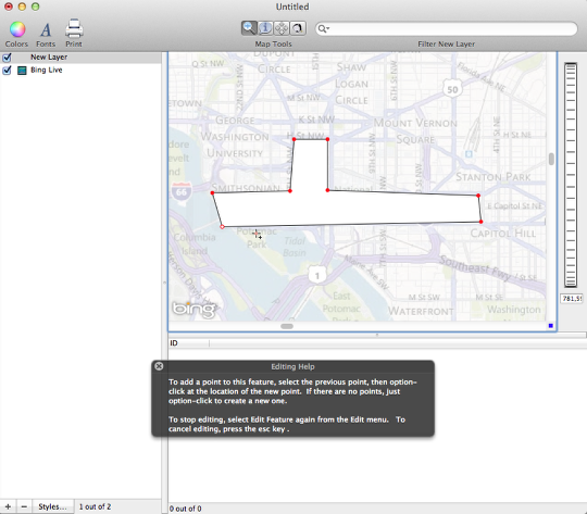
You are now in feature edit mode. In this mode, the existing map and features are dimmed to allow you to better see what you are doing.
- To add the first point, hold the Option key on the keyboard and click where you would like the point to be created.
- For subsequent points, option-click again to add a point.
- To select and move an existing point, click on the red circle and drag.
- If you need to insert a point between two existing points, select the prior point and option-click to create a new point.
When you are done drawing the feature, choose Edit > Edit Selected Feature again to stop editing
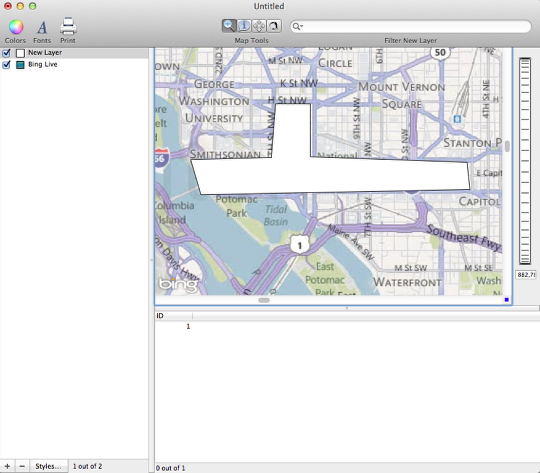
The feature is now visible on the map. The layer stack also indicates the type of feature that you have created.